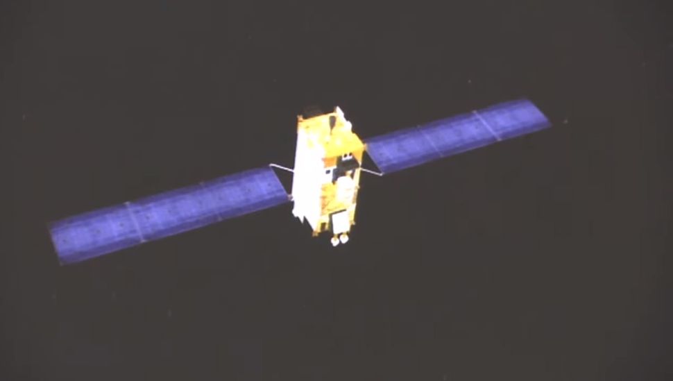
China recently announced that its self developed BeiDou Navigation system is now fully operational. The last batch of the satellites within the system was dispatched earlier this year and is now ready to provide services globally.

The new navigation system is now within the same league as US’ GPS, Russia’s GLONASS, and the EU’s Galileo. At the moment, more than 100 countries including Pakistan and countries part of the Belt and Road Initiative (BRI) are already using the system. Experts told Chinese media that “the completion of BeiDou-3 was due to the fact that core technologies cannot be bought or begged from other countries.”
Editor’s Pick: Realme V5 5G with 90Hz display, Dimensity 720, 48MP quad cameras, and 5,000mAh battery debuts for 1,399 Yuan (~$200)
The project had brought in over 300,000 scientists, engineers, and technicians from more than 400 domestic institutes, universities, and enterprises. It has been under development since the 1990s and has finally been completed. Chinese President Xi Jinping commissioned the system last week, with a ceremony held at the Great Hall of the People.

The system effectively lowers the country’s reliance on foreign navigation system and “By the end of 2019 in the Chinese mainland, more than 6.5 million road vehicles, 40,000 postal and express delivery vehicles, 80,000 buses in 36 major cities, 3,200 inland navigation facilities, and 2,900 marine navigation facilities had adopted the BDS, forming the world’s largest dynamic monitoring system for road vehicles.”
UP NEXT: Samsung makes a Comeback in India’s Smartphone market with new budget smartphones


